0 items -
$
0.00
facebook
youtube
Instagram
Trail Conditions
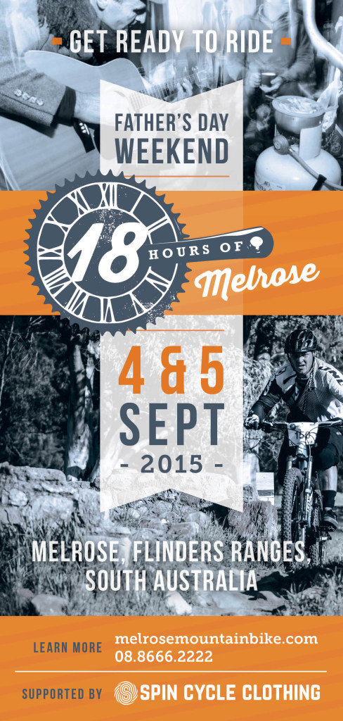
Melrose
w
Trail Conditions
Fruita
Hurricane
Edge Cycles
Melrose
Todos Santos
Home
Bike Hire
Shop
Cafe
Workshop
Info
Photos
Trails
Guided Rides
School Groups
Blog
Contact
×
Trail Conditions
Melrose trail conditions coming soon!
Trail Status
as of 06/26/2019
|
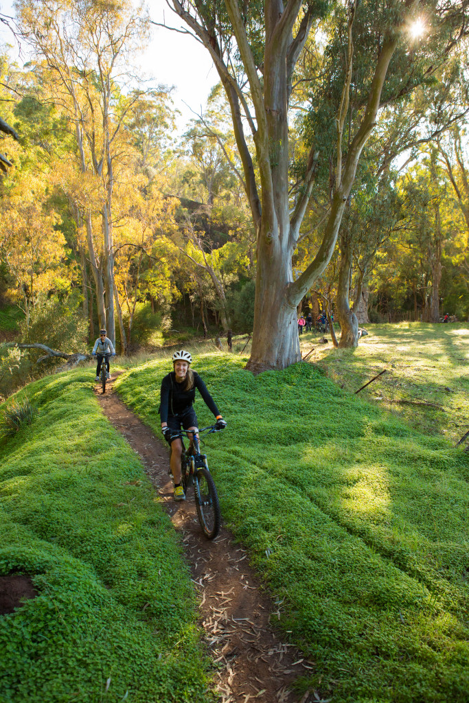
Showgrounds Loop
Open
Lets go ride!
|
Silo Loop
Open
|
Weaving Camels
Open
|
A Bit Sheepish
Open
|
Benchin
Open
|
Don's Summit
Open
|
Farmers Freewheelin Fun Track
Open
|
Hellrose
Open
|
Out The Back
Open
|
Textbook 10%
Open
|
Bear Pit
Open
|
Blazing Saddles
Open
|
Dodging Bullets
Open
|
EDGE Loop
Open
|
Greener Pastures
Open
|
Hidden Valley
Open
|
The Big Rhua
Open
|
Throwing Copper
Open
WEATHER
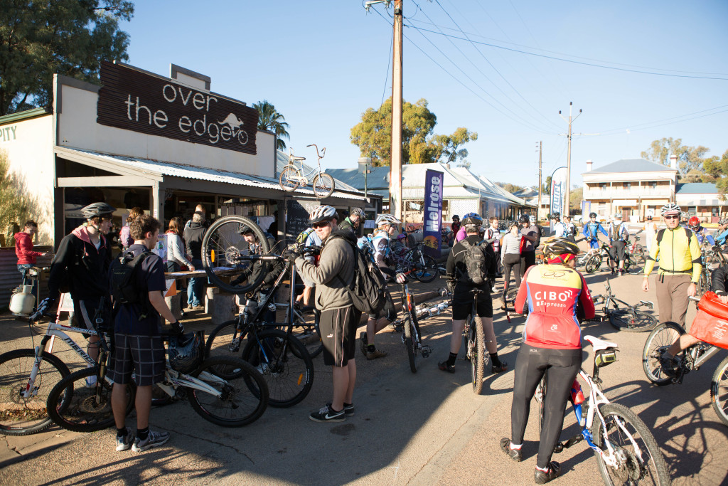
Over the Edge
Melrose
Melrose
Over The Edge Sports, Stuart Street, Melrose SA, Australia
+61 (0) 88 666 2222
Get Directions
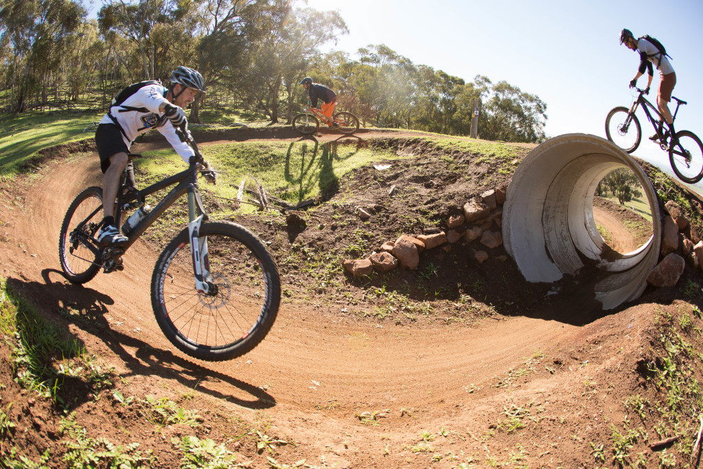
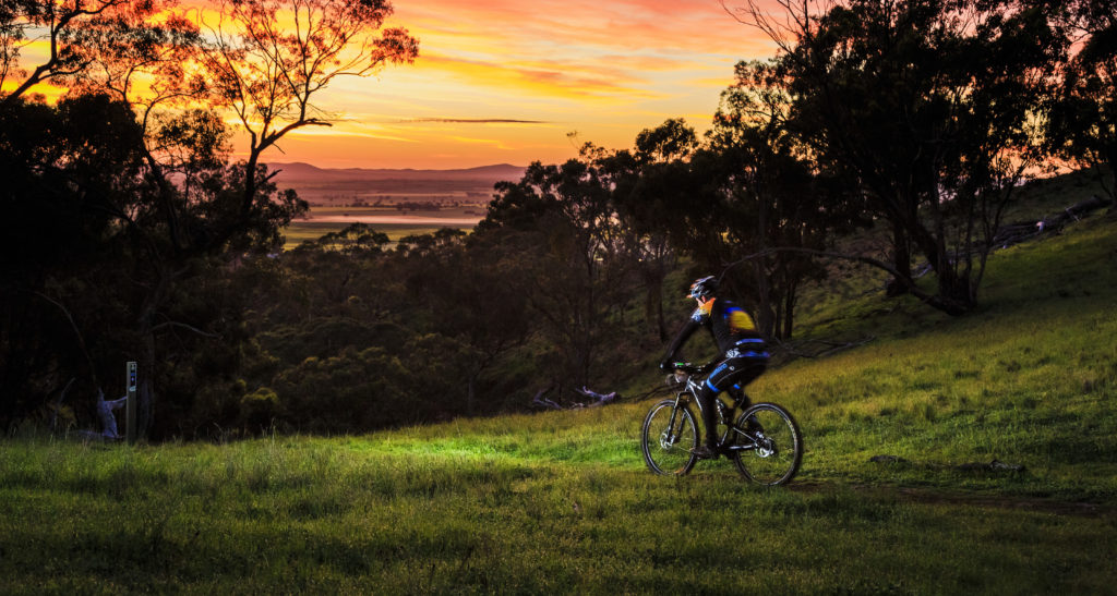
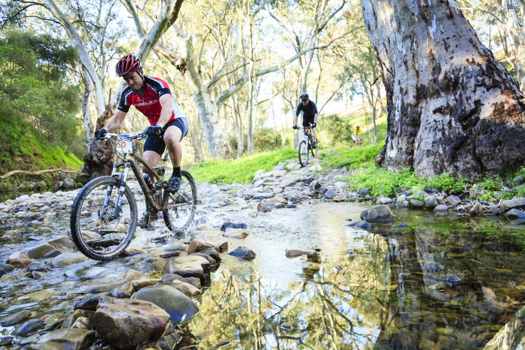
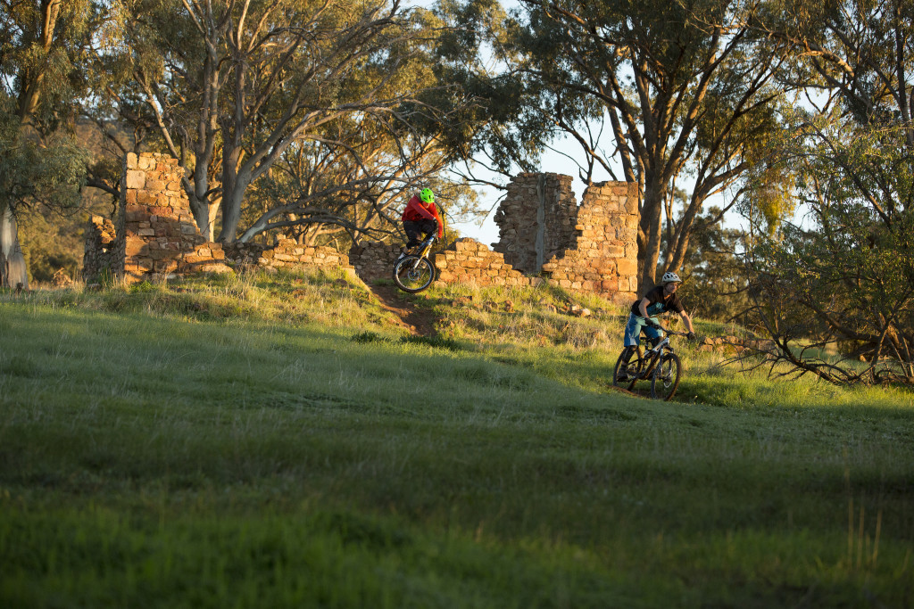
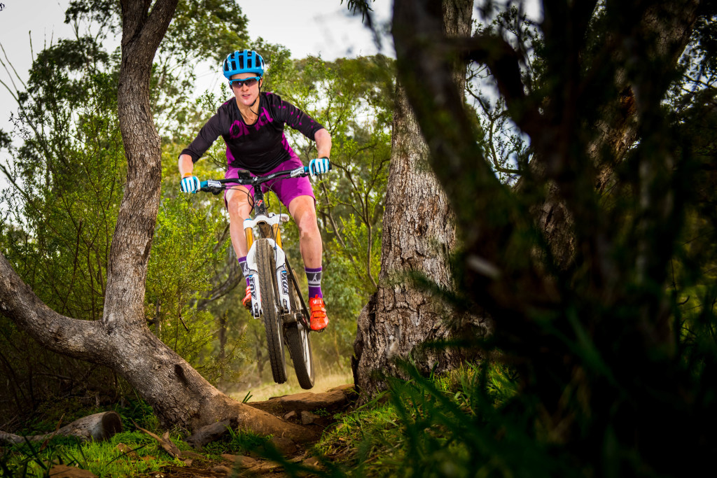
Melrose Ride Pics
See More
What's happening in Melrose
No events scheduled. Check back soon!
Welcome to life Over The Edge
( Our trails and culture )